Lengthy forest walk with plenty of variety
The Goldrush trail is a 13.8km route for trail runners in Coed y Brenin that also makes for a great walk. It’s a long hike, but there are no steep climbs or challenging sections of terrain. The trail incorporates portions of the Gain Waterfall, Goldmines and Volcano trails together with gorgeous areas of the forest park that you won’t see on the other routes. The walk starts and ends at the Coed y Brenin visitor visitor centre. It is an underused trail that you will probably have all to yourself after a mile or so and it is well waymarked. Usefully, as it is a running trail, there are mile markers to keep you abreast of your progress. You will probably be glad to see the eight mile marker as this means you are just half a mile from the end!
A great choice throughout the year, the Goldrush Trail is a wonderful way to explore Coed y Brenin and it is ideal for dogs. There is no livestock in Coed y Brenin and there are long sections of the walk where you would be unlucky to see any people at all. The pictures you see here were taken on the August bank holiday weekend. We encountered a few cyclists but did not see anyone on foot from the first mile marker until we were within a few hundred yards of the finish.
Duration: 4-5 hours
Terrain: Woodland paths and forest tracks with no steep ascents
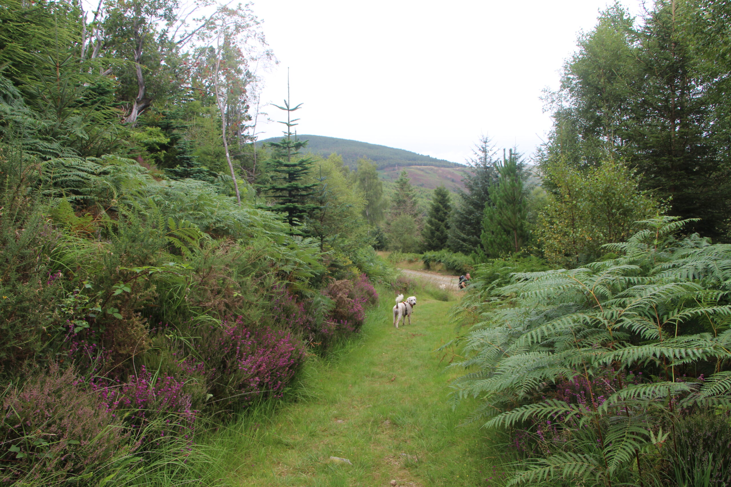
Starting Out
The walk begins adjacent to the car park at the Coed y Brenin visitor centre. Walk through the car park towards the centre and then look to your left. You will see information boards and beyond these, old gold mining equipment. The trail begins next to the impressive rock crusher and initially follows the same route as the Gain Waterfall Trail. You will be following the orange and blue “GR” waymarkers.
The first portion of the walk takes you through pleasant woodland. You will eventually emerge onto a forest track where you should turn right. Follow the track up and past the picnic table. Go straight on here and walk alongside the wall until you come to the next forest track. Follow the waymarkers and you will pass through further woodland with diverse flora. The route then takes you along another forest track and down through more woodland. If you have walked the Gain Waterfall Trail previously, you will recognise this part of the hike as you are walking down what forms the final ascent of the Gain Waterfall Trail. But you will be branching off to the right and walking past another stone wall. keep following the waymarkers and you will eventually arrive at a bridge over the river which runs through an impressive gorge.
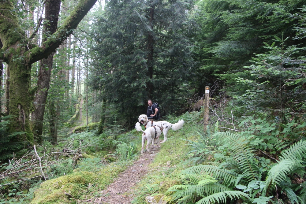
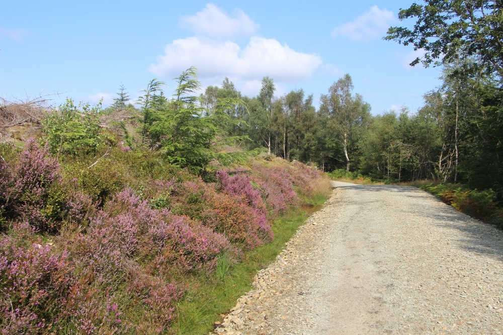
Crossing the river
When you reach the bridge, cross over the gorge and then follow the path until it meets a forest track. Turn left and after a couple of hundred yards, turn right and walk up through the trees until the path joins another track where you turn right again. Continue following the waymarkers through woodland and then into an open area which leads up to section of the route you will be familiar with, if you have walked the Volcano Trail. The Goldrush route eventually diverges from the Volcano Trail and at this point you might be feeling a little tired!
Another portion of woodland beckons, as does the 6 mile marker. The path takes you past a rather curious property with a vehicle “bone Yard”. The unfortunate display of rusting cars and tractors rather spoils the serenity of the forest park but you will soon be past it and back into beautiful countryside. There are 2.5 miles to go and most of this is on relatively flat forest tracks.
The last 1.5 miles
You will cross the gorge once more and walk through the parking area for the Volcano Trail. Join the road and then turn right at the waymarker onto a forest track. You are just 1.5 miles from the finish. The final portion of the walk is on level ground. It is the route used by cyclists to return to the visitor centre if they are lost or too tired to continue and so there may be plenty of bikes around.
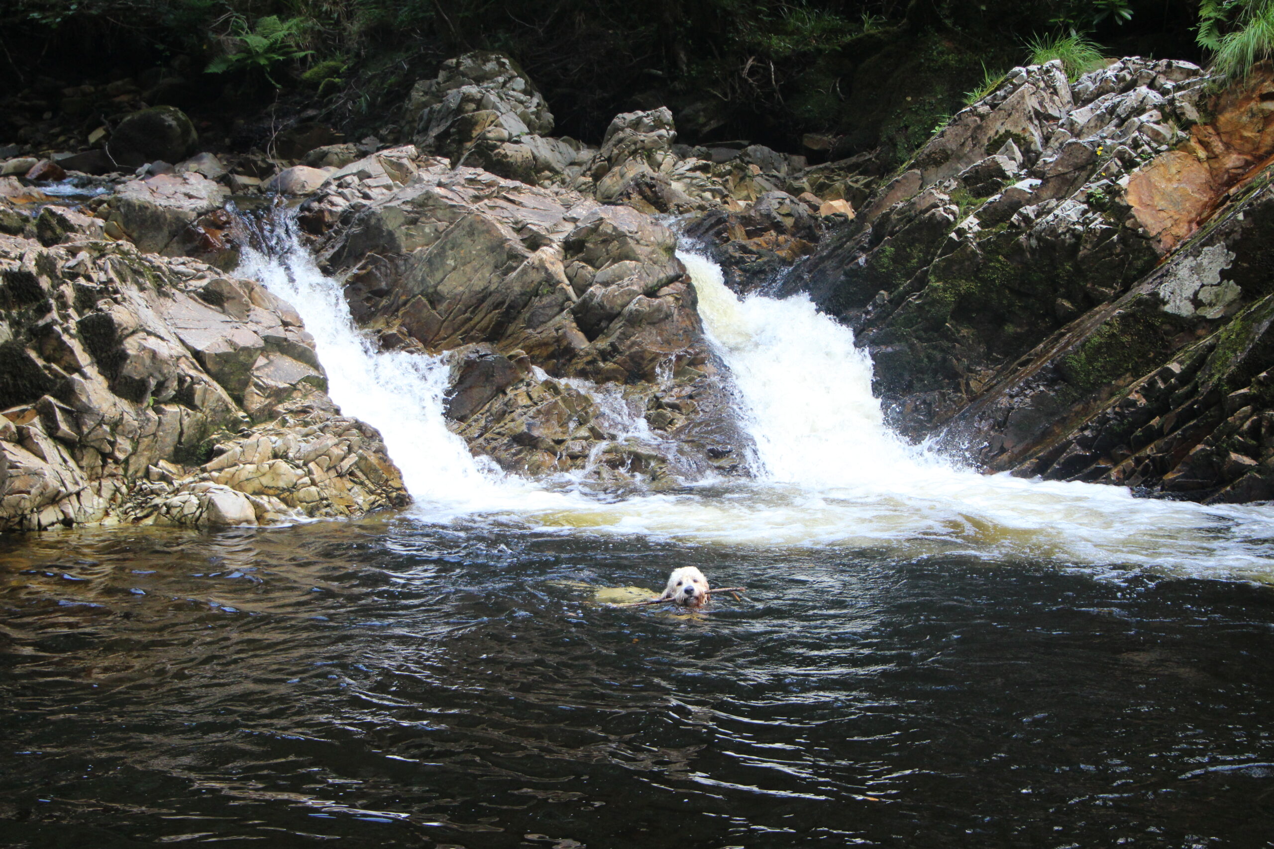
You will have seen a variety of terrain, some wonderful views and plenty of gorgeous forest. If you have dogs with you, they can cool off in the rock pool adjacent to the first river crossing (see below) or in the river near the end of the walk. You might be feeling the worse for wear by the time you reach the finish. Happily, there’s a café in the visitor centre where you can chill out for a while.
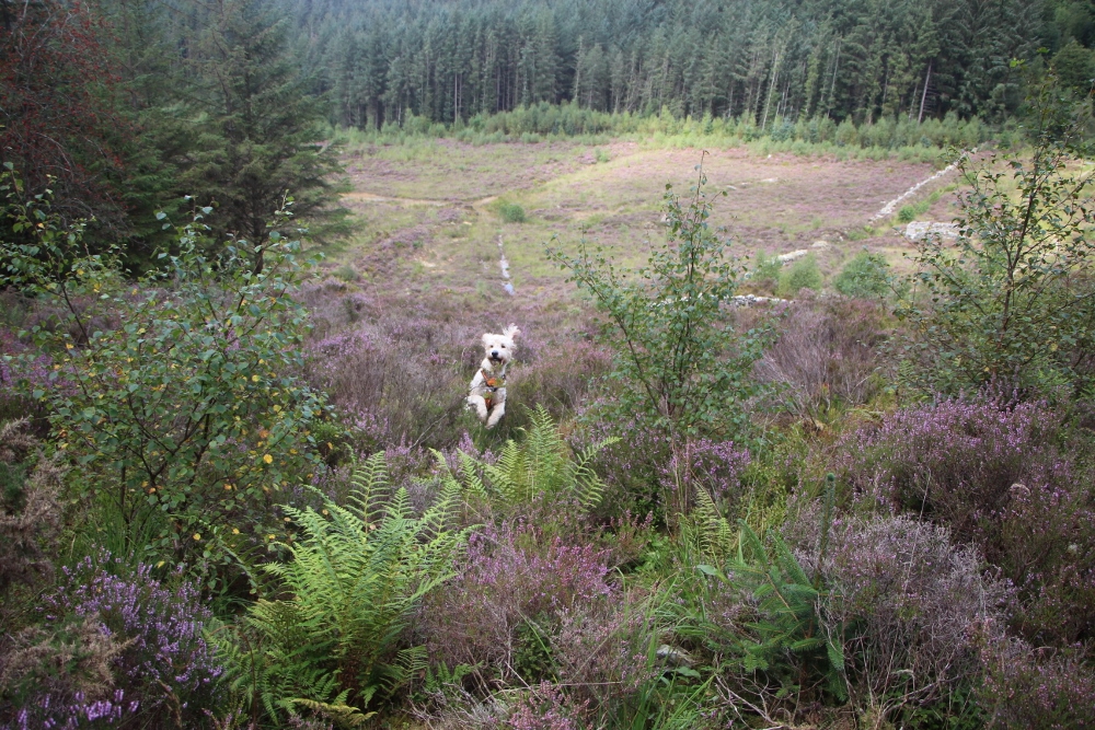
Directions
From the Woollen Mill, head to the A487 and drive south towards Porthmadog. Keep on this road until you pass Porthmadog and drive under a metal bridge. At the roundabout after the bridge, turn left towards Penrhyndeudraeth and stay on this road. Around 6 miles after you pass Trawsfynydd, you should turn left into Coed y Brenin. The entrance is signposted. Drive up to the parking area which is rarely full. You have to pay for parking and a number plate recognition system is in operation. You should pay just before leaving and a five hour stay costs £5.60 at the time of writing.


